

What Is GPS Navigation and How Does It Work?
Have you ever wondered how your phone can pinpoint your exact location on a map and guide you turn-by-turn to a new restaurant across town? The technology behind this modern marvel is the Global Positioning System, or GPS. It has transformed the way we travel, explore, and even conduct business. From the smartphone in your pocket to the dashboard of your car, GPS has become an integral part of daily life.
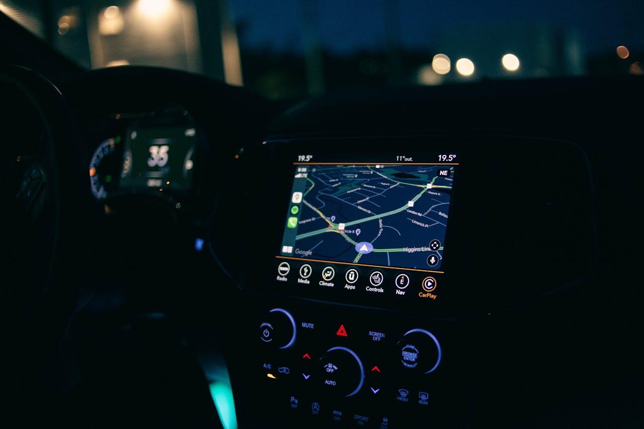
So, what is gps navigation? At its core, it is a system that uses signals from satellites to determine a receiver's precise location on Earth. This system provides real-time positioning, timing, and navigation services to users worldwide. It allows you to see where you are, where you've been, and how to get to where you want to go with remarkable accuracy.
This technology doesn't just help you avoid getting lost. It is a critical tool for countless industries, including aviation, shipping, agriculture, and emergency services. The system’s ability to provide accurate location data at any time, in almost any weather condition, anywhere on the planet makes it incredibly versatile and reliable.
This article will break down how GPS navigation works in simple terms. We will explore the three key segments that make up the system, the science behind its calculations, and the various ways this technology impacts our world. By the end, you'll have a clear understanding of the intricate process that happens every time you ask for directions.
The Three Segments of GPS
The entire Global Positioning System is a complex network that can be divided into three distinct parts: the space segment, the control segment, and the user segment. Each part has a specific role, and they must all work together seamlessly to provide the navigation services we rely on.
1. The Space Segment: Satellites in Orbit
The space segment consists of a constellation of satellites orbiting the Earth. The United States government developed and maintains this constellation, which is officially known as NAVSTAR GPS. There are currently over 30 operational satellites in orbit, ensuring that at least four are visible from any point on Earth at any time.
These satellites orbit the Earth at an altitude of about 20,200 kilometers (12,550 miles). They travel at speeds of roughly 14,000 kilometers per hour (8,700 miles per hour), completing two full orbits in just under 24 hours. This carefully planned orbital pattern is crucial for providing continuous global coverage.
Each satellite continuously broadcasts a unique signal. This signal contains important information, including the satellite's exact location in space and a precise timestamp generated by an onboard atomic clock. These atomic clocks are incredibly accurate, which is essential for the timing calculations that determine your location.
2. The Control Segment: The Ground Crew
The control segment is the "brain" of the GPS network. It is a global network of ground facilities that track the satellites, monitor their transmissions, and ensure they are functioning correctly. This segment consists of a master control station, an alternate master control station, and a series of monitoring stations and ground antennas spread across the globe.
The monitoring stations are responsible for tracking the satellites as they pass overhead and collecting data from their transmissions. This data is then sent to the master control station. Here, analysts calculate any slight deviations in the satellites' orbits (known as ephemeris errors) or timing (clock errors).
Based on these calculations, the master control station generates updated navigation messages. These updates are then transmitted back up to the satellites via the ground antennas. This constant monitoring and adjustment process ensures the data broadcast by the satellites remains as accurate as possible, which directly impacts the accuracy of your GPS receiver on the ground.
3. The User Segment: Your GPS Receiver
The user segment is you and your GPS-enabled device. This could be a dedicated car navigation system, a smartphone, a smartwatch, or specialized equipment used in surveying or aviation. A GPS receiver is designed to detect the low-power radio signals broadcast by the satellites.
Once the receiver locks onto a signal, it can decode the information it contains. The key pieces of information are the satellite's identity, its location, and the precise time the signal was sent. The receiver's job is to collect this information from multiple satellites simultaneously and use it to calculate its own position.
How Your Location Is Calculated: Trilateration
The magic behind GPS navigation is a mathematical principle called trilateration. It's a process that sounds complex but is based on a simple concept: measuring distance using time.
Here’s how it works step-by-step:
- Measuring Distance: Your GPS receiver calculates its distance from a satellite by measuring the time it takes for the signal to travel from that satellite to you. Since the signal travels at the speed of light (a known constant), the receiver can convert the travel time into a distance measurement using the formula: Distance = Speed × Time.
- Needing Multiple Satellites: Knowing your distance from a single satellite isn't enough. It only tells you that you are somewhere on the surface of an imaginary sphere with the satellite at its center.
- Adding a Second Satellite: When your receiver gets a signal from a second satellite, it creates a second imaginary sphere. The intersection of these two spheres forms a perfect circle. This narrows down your possible location from anywhere on a sphere to somewhere on that circle.
- Pinpointing with a Third Satellite: A third satellite signal creates a third sphere. The intersection of this third sphere with the circle created by the first two results in just two possible points. Usually, one of these points is a ridiculous location (like thousands of miles up in space), so your receiver can easily determine your actual position.
- The Fourth Satellite for Accuracy: To get a highly accurate position, your receiver needs a signal from a fourth satellite. This fourth measurement corrects for any timing errors in your receiver's clock. While the satellites have ultra-precise atomic clocks, the clock in your phone or car's GPS is much less sophisticated. The fourth satellite's signal allows the receiver to solve an algebraic equation that accounts for this timing discrepancy, a process known as 3D positioning. This final step significantly improves the accuracy of your calculated location, altitude, and speed.
The Future and Applications of GPS
GPS technology is constantly evolving. Modernization efforts are underway to improve the accuracy, reliability, and integrity of the satellite signals. This includes launching new generations of satellites with more powerful signals and enhanced capabilities.
The applications of GPS extend far beyond personal navigation.
- Emergency Services: GPS allows 911 dispatchers to locate callers quickly, even if they don't know where they are.
- Agriculture: Farmers use GPS for "precision agriculture," guiding tractors to plant seeds and apply fertilizer with millimeter accuracy, reducing waste and increasing crop yields.
- Logistics and Transportation: Shipping and delivery companies use GPS to track their fleets, optimize routes, and provide customers with real-time tracking information.
- Scientific Research: Scientists use GPS to monitor tectonic plate movements, track animal migrations, and study changes in the Earth's atmosphere.
From helping you find the quickest route to work to enabling complex scientific discoveries, GPS navigation has become an unseen yet essential utility. The next time your device guides you to a new destination, you’ll know the incredible journey of satellite signals and precise calculations that make it all possible.